Cijena:
€9,90
Tražilica omogućava traženje artikala po nazivima, proizvođačima, ključnim riječima...


One of the few maps that covers the entire territory of the Julian Alps, from the westernmost Jôf Fuart on the Italian side to the Lake Bled in the east. Beside the waymarked paths, unmarked trails and ski tours the map includes also: sports climbing areas, natural and cultural points of interest and paragliding take-off sites. GPS, WGS 84.
Features:


* Sadržaj i mišljenja koje izražavaju korisnici odražavaju njihova osobna stajališta i ne predstavljaju stavove tvrtke PR, d.o.o. Tvrtka PR, d.o.o. ne preuzima odgovornost za točnost i vjerodostojnost izjava korisnika.
L. K., Grosuplje, 10.09.2022 08:16:25:
Ocjena:
Priročen in odlična kvaliteta zemljevida...zdaj se ne morem izgubiti. Seboj ga imam na vseh turah.
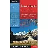 SidartaKarta Bovec - Trenta: Kanin-Montaž-Mangart-Jalovec-Razor-Krn
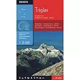 SidartaKarta Triglava: Kranjska Gora-Martuljkova skupina-Bohinj